

ADMINISTRATION OFFICE
19001 Somerston Parkway
Lathrop, CA 95330
Office Hours: M-F 8:00am - 5:00pm
Phone Number: (209) 941-5100
For Public Information Requests:
Contact Hailey Castañeda:
hcastaneda@lmfire.org
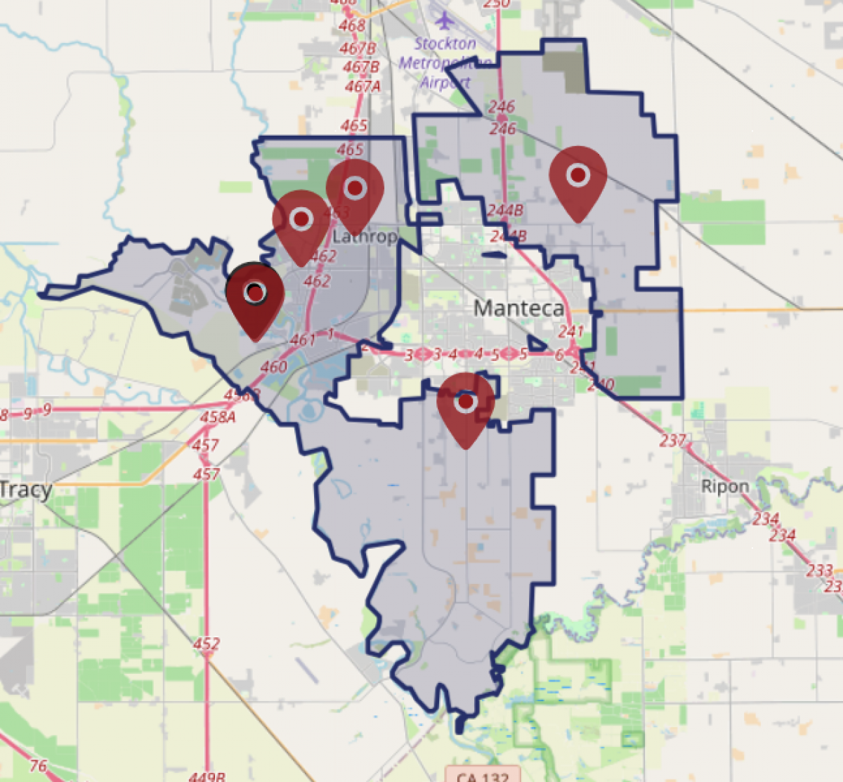
The Lathrop Manteca Fire District service and jurisdictional boundaries can be found here at the San Joaquin County Geographic Information Information Services site: here
Once the site loads use the drop down menu on the lower left to choose "Fire Districts". As configurations are set, users of the map can either enter in a parcel number or zoom into an area to of interest.
